
Morrisville Neighbors Block Sources
A block search begins by separating land records from people records. The Town map can show which parcels touch the target or face the same street. Wake’s real-estate system can associate each selected parcel with an owner, situs address, mailing address, and REID or PIN. Recorded deeds and plats then explain how those parcels were transferred or subdivided. Those sources may show owners and recorded parties, but they do not create a complete list of all people at a block address.
| Source | What It Shows About a Block | Access |
|---|---|---|
| Morrisville GIS parcel layer | Adjacent parcel geometry, address points, zoning, flood, airport overlay, and jurisdiction | Public Town map and REST service; live selection labels were not captured |
| Wake Real Estate Search | Owner connection, mailing and situs context, REID or PIN | Owner, address, REID, and PIN search modes; data changes daily |
| Wake Register of Deeds | Recorded parties, plats, easements, covenants, and instrument dates | Legacy search through April 17, 2025; newer application afterward |
| Morrisville development map | Active project, plan, and adjacent-property impacts | Public map and Town records-request fallback |
| NCSBE voter resource | A named voter’s status and election context under public-field rules | Person search, not a public whole-block roster |
| Neighborhood page | Governance and leader-contact route | Town page; no member directory |
Use the record type that answers the actual question. A parcel boundary is a physical fact. A tax mailing address is correspondence information. A recorded deed is a document trail. None of them alone proves that a particular person is currently present at the address.
Map Parcels for Morrisville Neighbors
The adjacent-parcel method keeps the search tied to a real block. Start with the target in the Morrisville viewer or Wake iMAPS, record its parcel identifier, then use that identifier in the county system. The research confirms the map service exposes parcel polygons and address points, but it did not capture the current public labels for buffer, measure, or select tools. Treat an on-screen map label as a location lead until the county record confirms it.
- Locate the street segment and select the target parcel or address point.
- Record its REID or PIN, then note parcels sharing a boundary or facing the same street.
- Compare parcel shape, address points, corporate limits, zoning, floodplain, and airport-overlay layers.
- Run each selected parcel through Wake Real Estate Search for owner and mailing context.
- Use the Register of Deeds for the recorded deed, plat, covenant, or easement when the physical boundary needs explanation.
The full street-by-street record chain is covered by the Morrisville by-street directory. A block method is narrower: it follows the parcels immediately around one address instead of treating an entire named road as one result set.
Layers Around Morrisville Neighbors
The Morrisville Maps hub links the Town’s map resources, including corporate limits, Wake iMAPS, zoning, drainage, crime, and election maps. Corporate limits and the Wake County line are important when a Morrisville postal label reaches a different custodian. Parcel polygons and address points establish place, while the county search supplies the owner and tax context.
The Town map hub is the starting point for a Morrisville neighbors search that needs a parcel-level view rather than a name-only result.
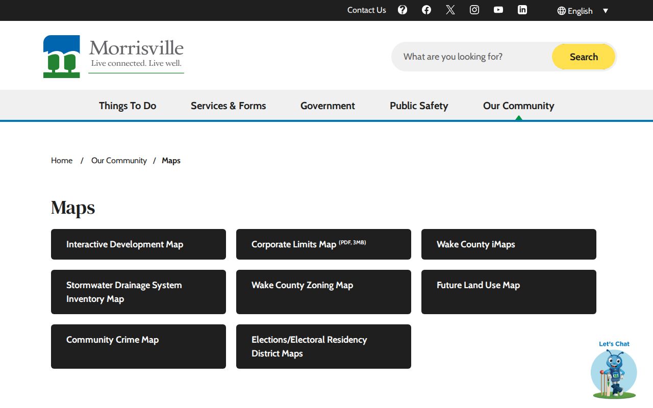
Read the surroundings before attaching a name to a parcel. Zoning, floodplain, airport-overlay, and jurisdiction layers can explain why a block’s development records or public-service boundaries differ from the street label. They are geographic context, not personal information.
The Morrisville GIS REST service documents layers for jurisdiction, corporate limits, Town Center, parcels, streets, address points, floodplain, zoning, and historic features.
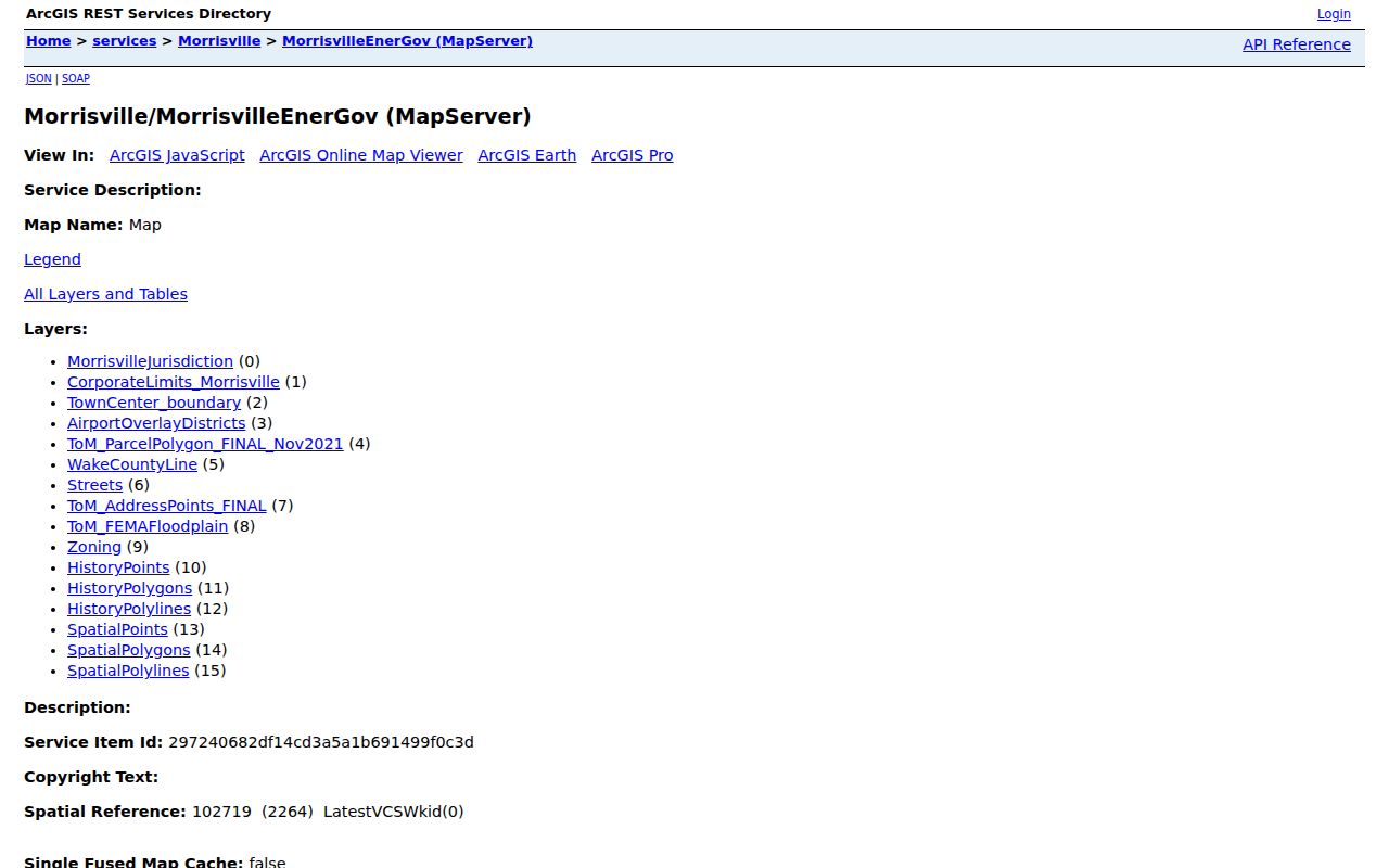
The service allows JSON, GeoJSON, and PBF query formats and identifies a zoning layer with display field CLASS. Its documented layers are useful for checking the block’s geography, but the public research did not verify a click-by-click adjacent-parcel tool sequence.
Voter Boundaries for Morrisville Neighbors
A voter result confirms public election context for a named person, not an entire address. The NCSBE Voter Registration Lookup accepts first name, middle initial, last name, optional birth year, optional county, and status. A result may show jurisdiction, polling place, sample ballot when available, absentee information, and participation history. It does not provide a public street-wide browse or reveal ballot selections.
The official lookup form shows the person-oriented controls used for a Morrisville neighbors check.
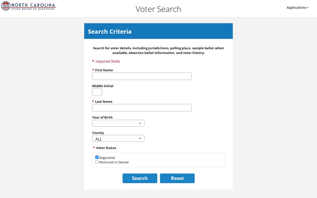
North Carolina law makes defined voter-list fields public, while full date of birth, Social Security and driver-license details, protected addresses, and other sensitive information remain withheld. A 50B order, another lawful court order, or Address Confidentiality Program status can protect an address. The public lookup is not a way to infer every person at a parcel or their choices in an election.
Neighborhood Contacts for Morrisville Neighbors
Town neighborhood information provides a governance route, not a member roster. The Town states that associations commonly manage covenants and common property, while Town code still applies. The Town cannot override an association decision under Chapter 160A, and private property-line disputes are not Town jurisdiction. Current association governance contacts should be confirmed from the recorded covenant, plat, or association itself.
Town neighborhood route
Morrisville Neighborhoods and HOAs explains the Town’s role and the Neighborhood Leaders contact channel.
Leader communication
Association leaders can join the Town’s Neighborhood Leaders list through information@morrisvillenc.gov. The research identifies email, Facebook, or Nextdoor as possible communication methods, not a public roster.
Area-name check
Breckenridge, Kitts Creek, Providence Place, Town Hall Commons, Preston, Weston, Savannah, Ridgemont, Addison Park, Grace Park, Carpenter Park, and Downing Glen are verified district or area names.
The Town neighborhood page is the source for the association boundary and contact guidance used in this Morrisville neighbors search.
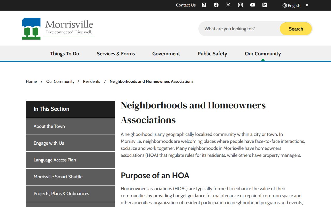
Area names are useful terms when searching covenants, plats, newsletters, and meeting notices. They are not proof that a particular parcel belongs to an association, and the Town page does not publish a complete membership directory.
Development Changes Near Morrisville Neighbors
A changing block can have a current parcel pattern and an older recorded pattern. Morrisville Development Services reviews residential plot plans against approved subdivision plans and examines grading, drainage, driveway placement, and adjacent-property impacts. Development applications, plan sets, and the GIS layers can therefore date a lot’s creation, a road extension, or a construction change even when no person is named.
The Town permits and applications route is the current municipal channel. For older county permits, Wake’s public search has a stated pre-July 1, 2018 scope and includes applicant, permit number, owner, address, and PIN fields.
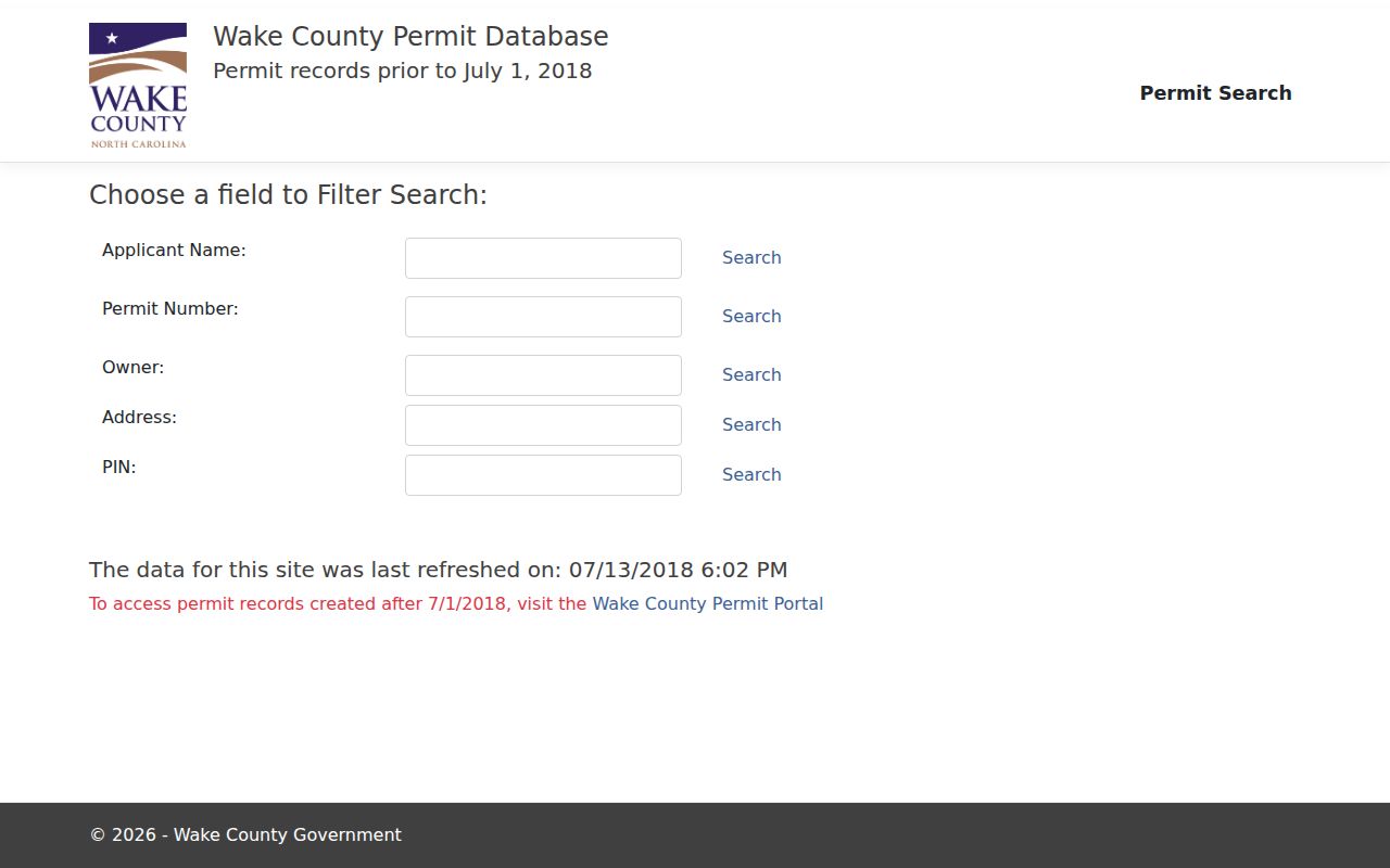
For later Wake material, the research documents a separate portal rather than a single continuing result grid. Ask for a specific address and date span when a public result does not appear. Note: A permit or development record dates a project; it does not create a current-person list for the block.
Deed Boundaries Around Morrisville Neighbors
Recorded land documents explain the legal side of a block. From a confirmed parcel owner and legal description, search the Wake Register of Deeds index for deeds, plats, covenants, easements, mortgages, releases, or judgments. A plat can show lots, right-of-way, easements, and roads that a mailing address does not show. The recorded instrument controls over a search index.
| Official records | Commercial neighbor tools |
|---|---|
| Identify the custodian, date, record type, and documented limits. | May combine public, licensed, marketing, and inferred information with unclear update dates. |
| Parcel and deed results can be checked against the actual record or custodian. | Can merge same names, retain stale addresses, and omit protected people. |
| Show a defined record trail, not every person connected with an address. | Should be treated only as a lead, never an authoritative block list. |
The legacy Register of Deeds application covers July 1785 through April 17, 2025. The research directs later recordings to the newer Records Management application, so the date of an instrument determines which system to check.
Historical Clues for Morrisville Neighbors
For a past block, pair a deed date with a plat, a directory year, an obituary, a probate file, or a census schedule. Olivia Raney holds Raleigh-area regular and Wills-Smith criss-cross directories, but the verified runs are noncontinuous and the exact criss-cross year run requires a reference call. A directory can place a printed name at an address for its publication year. It does not establish ownership or uninterrupted presence.
NC Archives finding aids, deed microfilm or fiche, newspapers, and FamilySearch images offer the analog and historical fallback. The research did not locate a dedicated Morrisville block-watch roster, congregation membership list, or civic-club resident directory. Preserve that gap rather than substituting a made-up block list.
Privacy Limits for Morrisville Neighbors
Public block records do not reveal every present occupant, utility customer, delivery record, private association communication, or protected resident. A mailing address can belong to an owner, trust, business, estate representative, or another correspondence recipient. The NC DOJ Address Confidentiality Program under Chapter 15C shields the actual address and telephone number held by North Carolina agencies for eligible participants, subject to the statute’s limited exceptions.
North Carolina Public Records Law opens existing nonexempt records but does not require an agency to create a new neighbors list. Save the URL, search date, parcel identifier, and exact field when something needs correction, then ask the original Town, County, or State custodian for its process. A public record must never be used to expose a protected person or to monitor someone.
Lawful use. Use Morrisville neighbors information for personal, lawful block research and respect every protected field. Public records do not authorize stalking, harassment, intimidation, or disclosure of a safety-protected address.