
Work a Morrisville Street Address
Use the street number, official street name, suffix, unit, city label, ZIP, and county together. Morrisville records can point to Wake County, while a small edge of the mailing area and ZIP 27560 reaches Durham County. Route names also matter. A search that fails under Chapel Hill Road may need NC 54, and an older record can use a neighboring city label. The address is only the opening handle. A parcel identifier, legal description, and date let the same property be followed when labels change.
The strongest current trail joins the Wake real-estate record, Town map layers, recorded documents, and dated address sources. Ownership is a documented relationship to a parcel. It does not identify every person who may be there. A printed directory or a named voter match can add a time-specific fact, but neither replaces the other records.
- Enter the number and street name in Wake Real Estate Search. Omit the street type, then choose the matching street from the returned list.
- Save the situs address, mailing address, REID or PIN, subdivision, and map location. Record the search date because the Wake data changes daily.
- Open the Town map layers to check the parcel polygon, address point, corporate limit, county line, and any zoning or flood context.
- Search the current owner as grantee in the Wake Register of Deeds index, then use the seller as the earlier grantee to move through recorded transfers.
- For an older address question, ask Olivia Raney Local History Library about the Wills-Smith criss-cross volumes and compare the printed address with the regular directory entry.
Search Morrisville Streets in Wake Records
The official Wake iMAPS search guide documents several ways into the real-estate system. Address mode is the usual Morrisville by-address route: provide the street number and street name, leave off the street type, and select a suggested street where the query is partial or ambiguous. If the address does not resolve, an REID or PIN can bridge the map and tax record. The guide documents the fields below, not a complete live parcel-card schema.
| Wake field | Type | Required | Use for a street search |
|---|---|---|---|
| Last Name | Text | Yes in owner mode | Individual owner surname. |
| First / Middle | Text | No | Optional owner-name narrowing. |
| REID | Text | No in its own mode | Numeric real-estate identifier. |
| Street Number | Text | Yes in address mode | Enter the number only. |
| Street Name | Text | Yes in address mode | Do not include the street type; select a match. |
| Map / Scale / Block / Lot | Controls | No in PIN mode | PIN components; scale is not part of the ten-digit PIN. |
A situs address is the parcel’s physical location. A mailing address is where tax correspondence goes. The latter can belong to an owner, trust, business, estate representative, or an out-of-area contact, so it is a lead rather than proof of where a person lives. Wake warns that its real-estate data changes daily and carries no warranty. The guide lists RevHelp@wakegov.com and (919) 856-5400 for questions.
- Parcel
- A mapped piece of land used in the county real-estate system. It ties an address to a stable tax and map identifier.
- Situs address
- The physical location of a parcel, as distinct from an owner’s tax-mailing address.
- Plat
- A recorded map that can show a subdivision, lots, easements, roads, and rights-of-way.
- Criss-cross directory
- A reverse directory arranged by address, used to find a printed occupant entry before checking the name section.
Map the Morrisville Street Parcel
Morrisville Maps links Town mapping resources and Wake iMAPS. The public Morrisville GIS service exposes address points, parcel polygons, streets, corporate limits, the Wake County line, zoning, floodplain, airport-overlay, and historic-feature layers. Use the limits and county-line layers before deciding which recorder, court, or tax custodian belongs in the next step. A Morrisville mailing line and a Town location are not interchangeable.
The Morrisville Maps hub image below shows the Town’s gateway to those map resources.
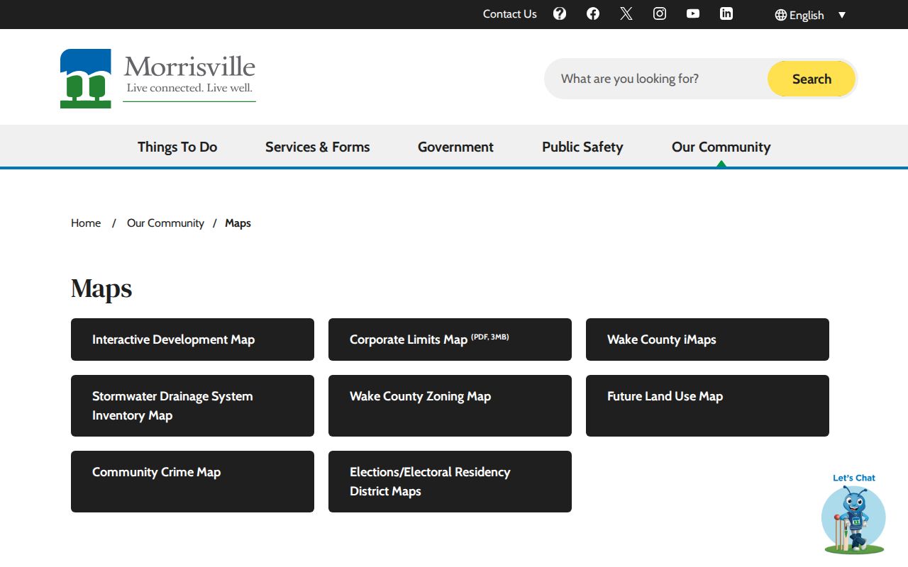
Use that map gateway to establish parcel and jurisdiction context before switching to the county ownership record.
Town layers also show zoning, flood, and airport-overlay context, which can explain why records for one Morrisville street are held or described differently.
Morrisville Street GIS Layers
GIS geometry is location evidence. It is not an ownership card. The map can help identify a parcel and its adjacent shapes, then the REID or PIN returns the searcher to the Wake real-estate system for ownership context. The verified service supports queries, but the research did not capture the live viewer’s exact identify or select sequence. Do not infer a person’s presence from an address point or parcel label alone.
The Morrisville GIS REST service image below records the available public layer source.
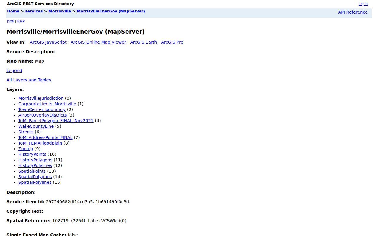
Its parcel, address-point, limits, and overlay layers add mapped context, while the Wake real-estate record supplies the documented ownership path.
Morrisville Street Records by Address
Each address-keyed source answers a narrow question. The coverage below separates property context, recorded parties, planning evidence, and historical print sources. A street directory becomes more reliable when each result is kept in its own lane instead of being merged into a supposed current roster.
| Address source | Custodian | What it can show | Access path |
|---|---|---|---|
| Wake Real Estate Search | Wake County | Owner, situs and mailing address, REID/PIN, and tax context | Public guide and search; daily-changing data |
| Morrisville GIS | Town GIS | Parcels, addresses, limits, zoning, flood, and airport overlays | Public map and REST service |
| Recorded instruments | Wake Register of Deeds | Parties, document type, recorded date, book/page, legal description, and plats | Legacy and later Records Management applications |
| Permits and development | Town Planning/Inspections and Wake County | Project, inspection, older permit, plan, applicant, owner, or PIN evidence | Portal, request route, and older Wake search |
| Criss-cross directories | Olivia Raney Local History Library | Historical address-to-printed-occupant entries | Reference shelf with gaps |
North Carolina’s public voter lookup takes a person’s name, year of birth, county, and status. It does not provide a public whole-street browse. A match may confirm a named voter’s jurisdiction, polling place, and history, but not a full household. The Morrisville street directory should therefore use voter information only as a limited name-by-name confirmation after an address trail has supplied a person to check.
Older evidence follows a different route. Wake deed microfilm and fiche, County Property Maps, newspapers, and reference directories at Olivia Raney are the analog fallback when the current portals do not reach the period at issue. NC Archives finding aids add county land, court, estate, marriage, tax, naturalization, and military series. Those channels are especially useful when an address was once described by a road, lot, or adjoining tract instead of its modern street number.
Morrisville Street Permit Trail
Permits and development records date work at an address. They can help explain a new structure, a subdivision change, or a period when a parcel was under review. Wake’s older permit search is explicitly limited to records before July 1, 2018 and offers applicant, permit number, owner, address, and PIN fields. Later Wake records use a separate portal. Morrisville’s permit and inspection route is through its Customer Self Service system, while a focused Town public-records request is the fallback if an online result grid does not expose the needed record.
The captured Wake interface is shown in the official permit search image below. Use a narrow address and date span when asking for records. A permit dates an activity or filing. It does not establish a complete household at the property.
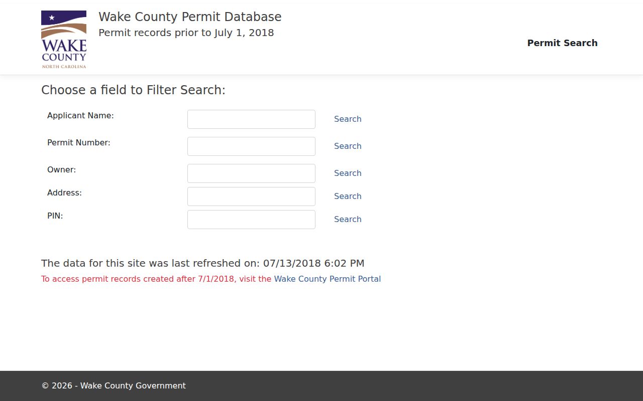
Older permit fields provide a useful bridge between a map identifier and an address, especially when a later street label or structure has changed.
Trace Morrisville Street Deeds
The Wake Register of Deeds legacy index is the recorded-document route for deeds, maps, easements, covenants, releases, judgments, and other instruments. Start with the parcel owner and legal description from the real-estate record. Search that owner as grantee for the purchase deed, read the seller and referenced plat, then search the seller as an earlier grantee. A legal description, subdivision, lot, or prior spelling can succeed where a street address fails.
Wake’s legacy application covers July 1785 through April 17, 2025. A newer Records Management application handles later recorded documents. This April 2025 split is a practical search tip: record which application was used and check both periods when a transfer could straddle the change. The index is a catalog aid, not the controlling legal instrument, so the recorded document and the custodian’s copy path resolve conflicts.
Note: The legacy search accepts grantor, grantee, a date range, or Book and Page as the required search anchor, with Standard and Sounds Like search options.
Morrisville Street Names and Lines
Street names carry local search traps. Town materials identify route and local-name pairs such as Chapel Hill Road and NC 54, plus Morrisville Carpenter Road, Morrisville Parkway, McCrimmon Parkway, Church Street, Davis Drive, Aviation Parkway, and other State-maintained roads. Test both forms when an older map, permit, or recorded document does not match a current address string. The research did not locate a verified town-wide renumbering schedule, so a missing exact address should trigger searches by subdivision, lot, cross street, plat, and parcel identifier rather than an assumed rename date.
Town Public Works uses blue sign tips for Town streets, white for State streets, and yellow for privately maintained streets. That convention helps identify the likely maintenance path, not an ownership or occupancy fact. ZIP 27560 also has Wake and Durham County entries in North Carolina’s official five-digit ZIP table. Check the parcel’s county layer before requesting a record from Wake.
Morrisville Street History in Print
For earlier Morrisville street directory questions, the address-first lead is the cataloged Wills-Smith Raleigh Criss-Cross Directory at Olivia Raney Local History Library. Search the street and number, preserve the printed spelling and abbreviations, then locate the person in the regular name section. The Raleigh-area holdings are noncontinuous and should not be treated as a complete Morrisville roll. The library can confirm whether a requested year is on the shelf and whether the address may be indexed under Raleigh, Wake County, or a nearby municipality.
The cataloged Raleigh directory holdings run noncontinuously from 1880 through 2004. That historical shelf is described in more detail in the Morrisville City Directories collection. When a year is absent, record the gap rather than treating it as proof that no person lived at the address. Pair a printed entry with a deed, parcel, census, obituary, or probate source before drawing a conclusion about a past household.
Morrisville Street Voter Boundaries
The NCSBE Voter Registration Lookup is a name-oriented status tool. It can return a registration jurisdiction, polling place, sample ballot when available, absentee information, and voter history. It does not return ballot choices. It is also not a street-wide resident list. Try the legal surname, spacing or hyphenation, status option, and Wake or Durham county before deciding a named lookup has no match.
North Carolina permits public voter lists under G.S. 163-82.10, but the public lookup withholds sensitive identifiers and protected addresses. A public result does not erase Address Confidentiality Program protections or establish every person at an address. This boundary is useful precisely because it prevents the Morrisville street directory from implying more than the source can support.
Privacy Limits on Morrisville Streets
No Morrisville street search creates a complete list of household members. Public address records do not disclose utility customers, delivery records, DMV address data, protected Address Confidentiality Program participants, sealed or expunged court matters, or the reason a person is at an address. A tax mailing line can also identify a trust, business, estate, representative, or remote owner rather than a resident.
North Carolina Public Records Law opens existing government records while leaving exceptions and confidentiality rules in place. If a Town-held item is not online, a specific request to the Morrisville public-records request route is more useful than asking for a newly compiled resident list. Name the record type, address, and date range.
Lawful use. Morrisville address records support personal, lawful research and property history. Do not use them to stalk, harass, intimidate, or expose a protected person.