
Morrisville ZIP Code Coverage
Morrisville is served by several delivery labels, but the labels do not form municipal or county borders. The most important local example is 27560. The North Carolina Department of Revenue table lists it twice, once for Durham County and once for Wake County. Other ZIP associations can reach Morrisville in Census search results while also serving Cary, Durham, or broader suburban areas. Use them as geographic clues, then verify the actual address before treating a record as a Morrisville, Wake, or Durham record.
The table below uses only the coverage statements documented in the research. It does not assign a neighborhood to a ZIP where the official source did not do so. A USPS delivery answer, a tax parcel, and a Town corporate-limit layer can each answer a different part of the same address question.
| ZIP | Areas covered | Post office context | Record-search note |
|---|---|---|---|
| 27560 | Main Morrisville mailing label; Wake and Durham entries | Morrisville routing context | Check county before requesting records. |
| 27513 | Census association with the Morrisville profile; Cary-area context | Address-level verification required | Not proof an address is within Town limits. |
| 27519 | Census association with Morrisville; much is Cary or nearby suburb | Address-level verification required | Check city, county, and parcel individually. |
| 27703 | Census association with Morrisville; Durham delivery geography | Durham context | Do not infer Town incorporation. |
| 27709 | RTP place and post-office label | Not valid for street mail | Use current RTP mail guidance. |
| 27717 | Morrisville-area routing-list entry | Exact street scope not verified | Confirm with USPS before using it. |
Note: A postal label can be correct for mail while still pointing to a different county custodian or an unincorporated address outside Morrisville.
Morrisville ZIP Code County Split
ZIP 27560 is the central county-boundary warning for a Morrisville ZIP code search. The NC Department of Revenue five-digit ZIP table gives 27560 a Morrisville/Durham entry with county code 32 and a Morrisville/Wake entry with county code 92. That is an official reason to check the parcel before choosing a Register of Deeds, tax office, court location, or vital-record counter.
The same local geography affects RTP. RTP mailing guidance says Durham County south of Hopson Road and all Wake County RTP addresses use Morrisville 27560, while much of Durham County north of Hopson Road remains Durham. The guidance also says 27709 belongs to the RTP Post Office and cannot be used for street mail. A ZIP can therefore be a useful first clue without supplying the final county answer.
Morrisville ZIP Code Mailing Rules
The USPS ZIP Code Lookup is the final delivery-label check. Its By Address mode asks for street address, city, and state, with company, apartment or suite, and ZIP as optional fields. It also offers By City and State and Cities by ZIP modes. The result helps confirm how mail is routed; USPS specifically warns that a result does not confirm a person or business is at the address and cannot guarantee a business location.
| USPS By Address field | Required? | Use in a Morrisville search |
|---|---|---|
| Street Address | Yes | Start with the full delivery address. |
| City and State | Yes | Tests the postal city pairing. |
| Company | No | Optional delivery detail, not a person confirmation. |
| Apt/Suite | No | Optional unit detail for the delivery address. |
| ZIP | No | Useful to test an expected five-digit result. |
This makes the tool a first step in a Morrisville ZIP code directory workflow, not a name-search tool. A historic book may predate modern ZIP geography altogether. Raleigh-area directories often depend on a printed street and city label instead, so test street names, nearby cross streets, subdivision names, and the parcel description when old and current address forms do not line up.
The USPS address, city, and ZIP lookup shows the available delivery-validation modes.
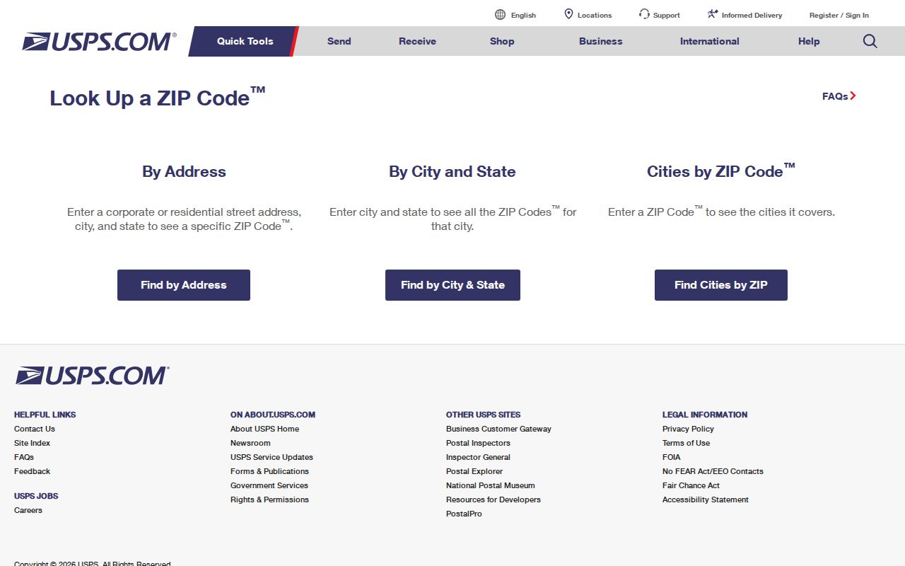
The captured form reinforces the right order: verify the mailing address first, then use local records that match the parcel's jurisdiction.
Search a Morrisville ZIP Code
There is no verified public Morrisville ZIP-wide resident roster. The Wake Real Estate guide documents owner, REID, location-address, and PIN modes, but not a ZIP field. The public NCSBE lookup accepts name, year of birth, county, and status, but not ZIP. Town GIS can display map geography, yet the research did not document a public ZIP filter. Start with the address and use the ZIP to select the right official path instead of expecting a postal-code search to return every person.
- Run the complete address through USPS to confirm its current city and ZIP format.
- Check the NC DOR table and the Town or county map layers for Wake or Durham jurisdiction.
- Use the Wake property search by address, REID, owner, or PIN when the parcel is in Wake County.
- Use the documented county custodian, not the ZIP alone, for deeds, court records, or municipal requests.
- When one ZIP narrows to a named street, continue with the Morrisville By Street directory for the address-keyed record chain.
Wake's iMAPS search guide specifies an address workflow: enter street number and street name, omit the street type, and choose from returned street matches. That instruction is useful after the ZIP has done its limited geographic job.
Morrisville ZIP Code Portal Limits
Local portals divide the work by record type. Wake Real Estate Search links owners and parcels through a name, REID, address, or PIN. Town maps link corporate limits, Wake iMAPS, zoning, drainage, crime, and election-map resources. NCSBE's public lookup confirms an individual registration context, such as jurisdiction, polling place, sample ballot when available, absentee information, and voting history. None of those documented public tools is a ZIP-wide household list.
| Wake Real Estate Search | Owner, REID, location address, and PIN modes; no documented ZIP mode. |
|---|---|
| Town maps and GIS | Corporate limits, county line, address points, streets, and parcel layers; no documented public ZIP filter. |
| NCSBE Voter Search | Name, year, county, and status; it does not accept ZIP as a search field. |
| USPS Lookup | Delivery-label verification by address, city/state, or ZIP; it is not evidence of occupancy. |
The NCSBE form is a useful example of why county selection comes after address verification. It requires first and last name, lets a searcher add middle initial and birth year, offers a county selector, and requires at least one voter-status choice. For most Morrisville matters, Wake is the county choice, but a Durham-side address belongs in the Durham search path. A nonmatch can result from spelling, county choice, status selection, a recent change, or a protected address, so it should not be read as proof that no record exists.
For a Town-held record that is not visible online, the Morrisville Town Clerk's public-records route is the documented fallback. A focused request should include the date range, street or property address, names, keywords, and record type. The Town warns that off-site retrieval, outside storage, and extensive copying can create charges, while North Carolina's Public Records Law supplies the broader access standard. That request route is more reliable than trying to turn a postal label into a search field it does not have.
Note: A voter lookup can confirm registration context, but it does not list household members or reveal ballot choices.
Morrisville Address and Parcel Keys
Address, mailing address, situs address, ZIP, and parcel ID are different fields with different uses. A situs address is the physical location used by the GIS or parcel map. A mailing address is where tax correspondence goes and may belong to a trust, business, estate representative, or out-of-area owner. It is a lead, not proof that the recipient lives at the parcel. Wake's REID and PIN connect the map result to the real-estate record when street formatting fails.
- ZIP
- A postal-delivery geography, useful for mail routing but not a legal city or county boundary.
- ZIP+4
- An added delivery segment used to refine mail routing beyond the five-digit ZIP.
- Limited routing label
- A ZIP such as 27709 with a restricted documented use, rather than a standard street-mail answer.
- Carrier route
- A USPS delivery grouping; it is not a public roster of people at addresses.
- PIN or REID
- Wake parcel identifiers that bridge a map or address result to county real-estate records.
The Morrisville Maps hub links corporate-limit and iMAPS resources. Use the corporate-limit layer for Town status and the county line for the Wake-versus-Durham decision.
The Morrisville Maps hub is the source for the Town map links used to confirm an address's municipal and parcel context.
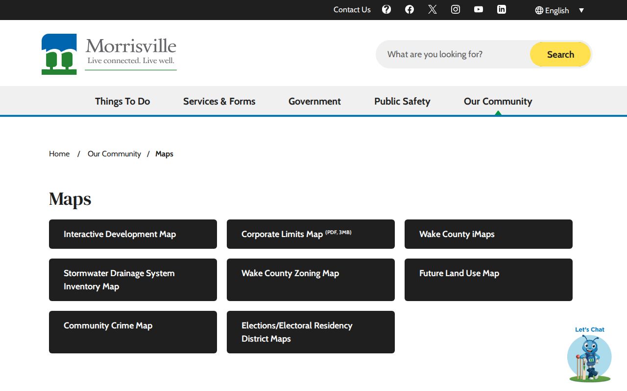
The map view provides the geographic check that a delivery ZIP cannot provide by itself, especially where Wake and Durham records meet.
Morrisville ZIP Code City Limits
ZIP boundaries and Town limits answer different questions. Census ZCTAs are generalized representations of USPS delivery geography, not legal route boundaries. A Morrisville mailing label can therefore appear on an address in an unincorporated area, while an address connected to a nearby ZIP may fall within a different jurisdictional pattern. The Town election materials make the same distinction: some addresses with a Morrisville mailing label do not vote in Morrisville municipal elections because they are outside Town limits.
Use the Town's corporate-limit and election-district layers to test municipal status. Then use the county line and parcel source to determine whether Wake County or Durham County keeps the relevant land, tax, court, or vital record. This sequence avoids treating a city name in a mailing address as a substitute for the custodian that actually holds the record.
The Morrisville GIS REST service documents the available jurisdiction, corporate-limit, parcel, street, address-point, floodplain, zoning, and airport-overlay layers.
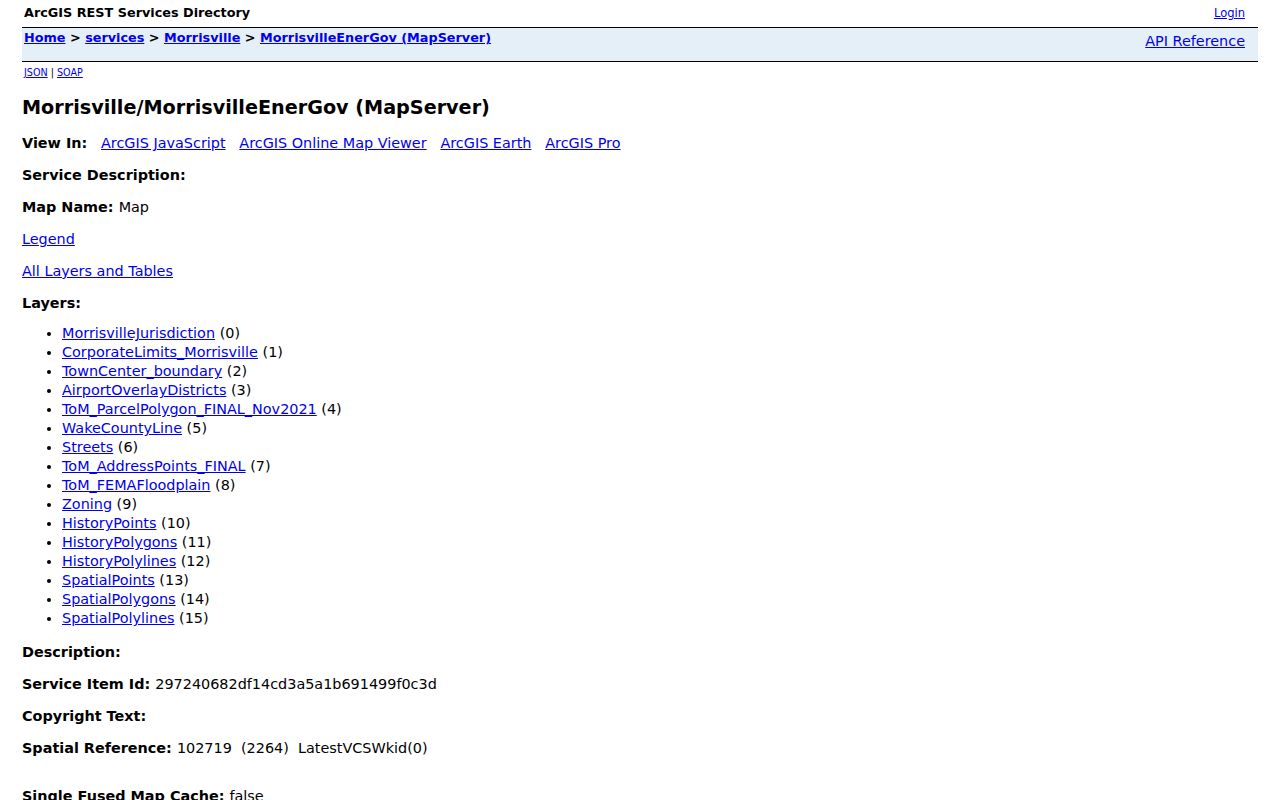
Those layers help separate postal geography from Town status and county custody before a record request is directed to an office.
Morrisville ZIP Code Change Context
No verified dated ZIP split or realignment history was located for Morrisville. That is a real research limit. Record the postal city exactly as it appears in an older directory and use a current parcel or route crosswalk only as interpretation. The local issue now is not a proven ZIP renumbering, but the way new work can change streets, access points, and development records while the delivery label stays familiar.
TIMELY. Morrisville's August 2026 capital-project update identifies work around the library, Carolina Street, Town Center Green, and the parking deck. The Town capital-project page and monthly presentations can help date changing street or parcel context. They do not establish a postal boundary change, and they should not be used as a resident directory.
Note: A current project update can clarify changing street context, but it does not alter the postal or jurisdictional record by itself.